Colorado · Vail Pass
Shrine Mountain Inn
Operated by 10th Mountain Division
Elevation
11,210 ft
Sleeps
16
Approach
2.8 mi
Approach time
2 hr
Difficulty
Moderate
Activities
Ski, Hike
Season
Ski+summer
Ski quality
❄❄❄ 3/5 Solid glades · alpine
Raw price
$40 to $45 pp/night
Per person per night
$42
Booking difficulty
Very High
Book ahead
8 months
Cell service
Limited
Water source
Potable
Data verified 2026-04-22
Notes
Three cabins. Electricity, running water, flush toilets. Most comfortable in 10th Mtn system. Great for first-time hut trippers who want backcountry vibe with indoor plumbing.
Avalanche forecast
Colorado Avalanche Information Center (CAIC)
Read the forecast →Our read of the relevant forecast center. Check the bulletin before every winter tour. ATES-style terrain calls on this site are opinions, not formal assessments.
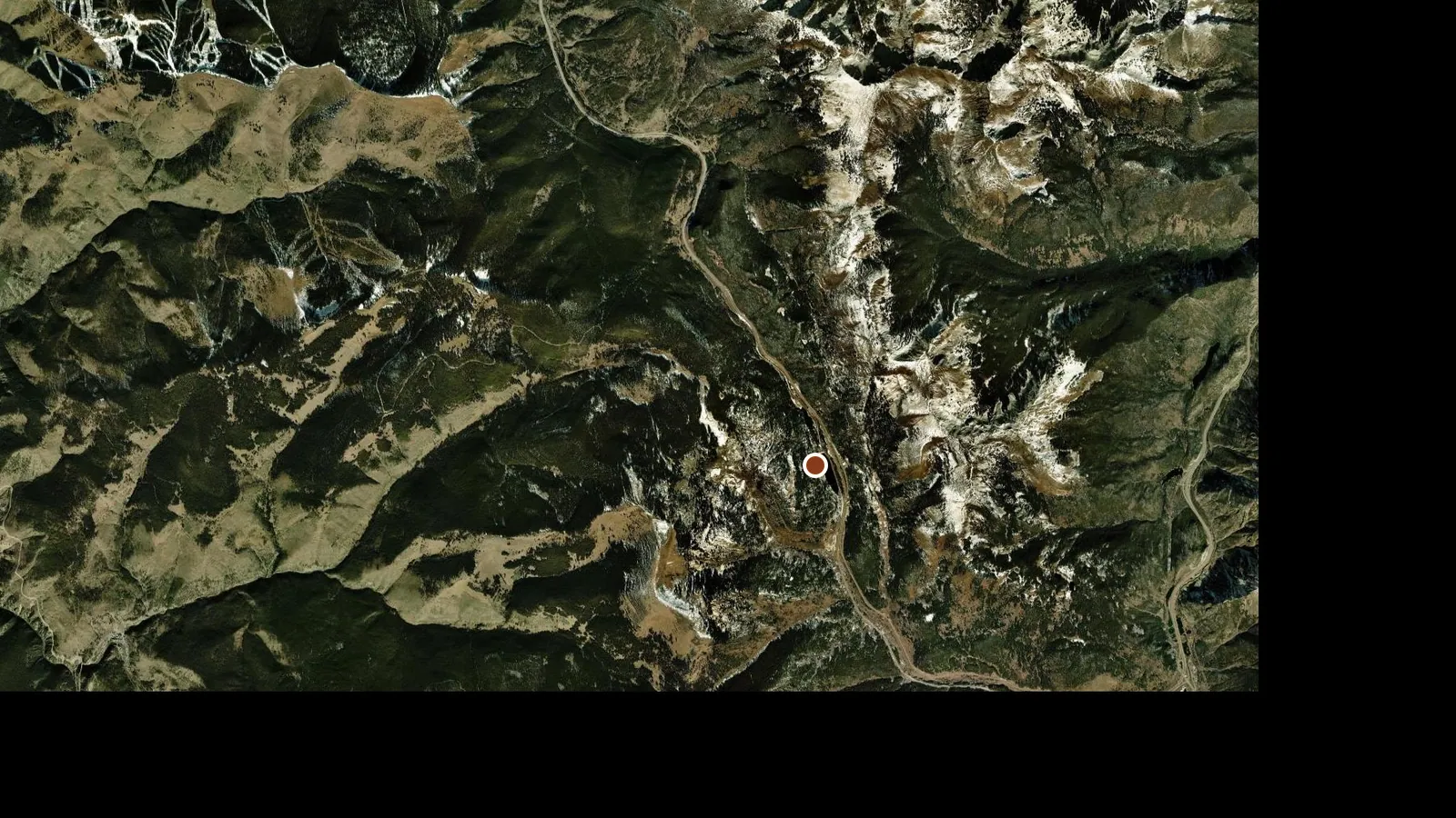
Location
Hut
Shrine Pass TH (Vail Pass)
Traced approach (representative)
39.5500, -106.2400
Open in full map
Approach elevation
Source: SRTM elevations via BRouter; operator figures may differ
Booking opens on the operator's own site.