Lizzie Creek Cabin
Operated by Lizzie Creek Cabin (volunteer maintained)
Data verified 2026-08-15
Notes
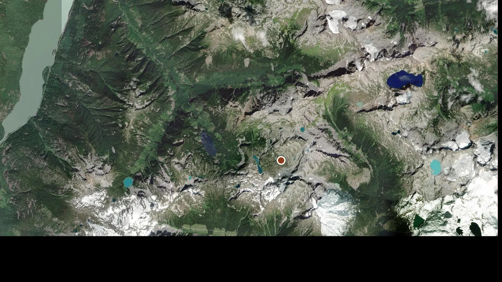
A 1968 log cabin sitting in meadows just above the Gates of Shangri La, free, unlocked, no reservations. It sleeps eight, six in the loft and two or three on the wide downstairs benches, and it is tight past seven. Wood stove only and the building is drafty: one New Year party recorded minus 8 C inside before lighting it and only got the room to minus 5 C, so bring the bag you would take for a tent. Firewood is cut by volunteers and does run out, so burn it sparingly and shovel the roof before you leave. The In-SHUCK-ch FSR along Lillooet Lake is plowed and any car handles it, but the Lizzie Creek road spur is not plowed and is washed out low down, so you park at the closure and skin the whole 17.5 km. Six to ten hours in is normal, plenty of parties fail to reach the cabin on day one and end up in a tent, and the ski out is about 3.5 hours. Check access before you commit to the drive: as of August 2026 the province lists Lizzie Creek (In-SHUCK-ch Branch 03) closed at 1 km with no vehicle access to the Stein Valley, and the In-SHUCK-ch mainline itself is under a wildfire evacuation order and open to residents and industry only. Bears have gotten inside the cabin before, so pack out all food.
Avalanche Canada
Read the forecast →Our read of the relevant forecast center. Check the bulletin before every winter tour. ATES-style terrain calls on this site are opinions, not formal assessments.
Booking opens on the operator's own site.